")
")

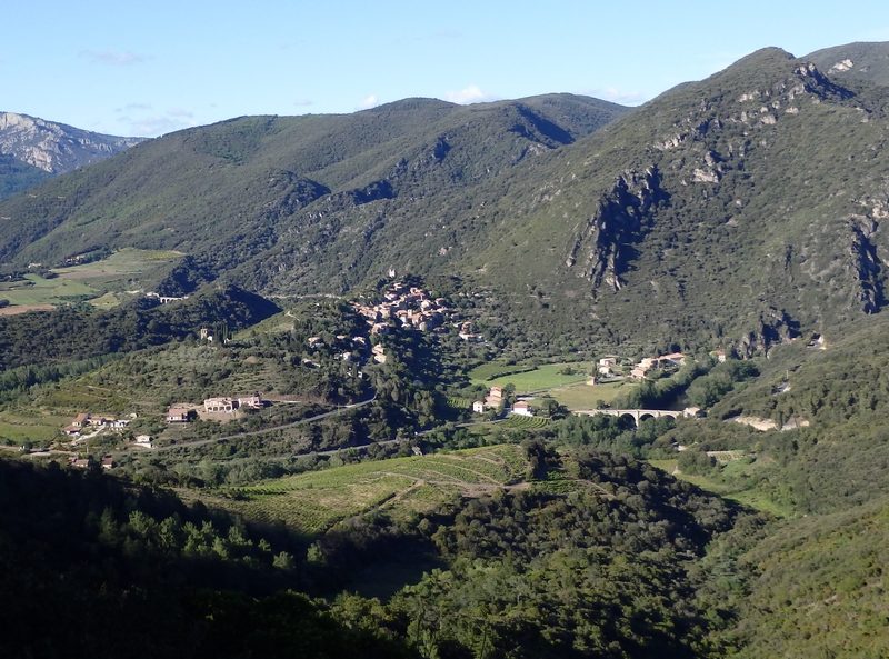 Leave Roquebrun by the road to Olargues. At the stop sign, turn right towards the Garrigas. The path winds in twists and turns, you dominate Roquebrun and the Orb valley. At the ruin, the path becomes a little more horizontal and makes its way through the holm oaks to Chenillard. From this point, the path continues downhill to Ceps. In Ceps, you cross the hamlet and follow the path for a while, along the Tour de l'Ayrolle (PR). The path is in the shade, well marked out and very playful. At the Col du Bac, cross the road, then follow the path with a balcony, with Vieussan and Boissezon in your sights and finish at the Col du Courbou. The views over the Orb are magnificent.
At the pass, things become serious with the ascent of the Naudech 300D+ over 1km (0.6miles): it's steep. At the top, take the time to go to the foot of the antenna, the view of Vieussan and the meander of the Orb is worth the diversion.
The descent to Olargues is carefree via the Col de la Bacoulette and the Malviès path. This path is very popular with mountain bikers.
![]()
![]() Roquebrun's parking lot (in the back) and Esplanade of the train station in Olargues
Roquebrun's parking lot (in the back) and Esplanade of the train station in Olargues![]()
![]() Roquebrun and Olargues
Roquebrun and Olargues![]()
![]()